Contact Us

What is Airamap Desktop?

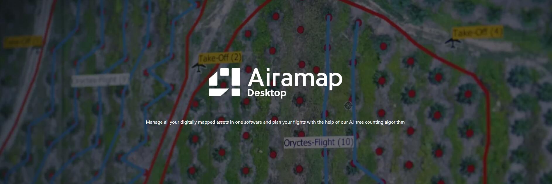
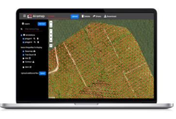
An advanced aerial mapping analytics software, Airamap Desktop is used in industrial applications to monitor your on-site situation so you can do swift and accurate decision-making. Airamap is equipped with an artificial intelligent (AI) data processing engine that cut the processing time short while maintaining the quality of the processed results.

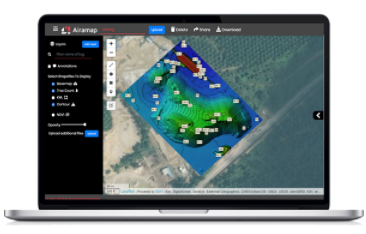
You can then sort your results in many kinds of models and map types such as DTM, DSM, DEM, heat map and many more. These reports are extremely useful in determining necessary preventive actions, enhance operations and at the same time, reducing operational and time cost.

Features

Explore the integrated features of Airamap, optimised to solve your business problems accurately, reliably & easily.

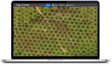
Palm Oil Plantation Aerial Mapping

Experience how you can capitalise on high resolution and versatile imagery in Airamap to improve your output and profitability.

Get A Quotaition

Get In Touch

Have questions? Our drone experts are here to help

Submit

, by Shenzhen Enliten Technologies Co., Ltd. (MA5HMCAN-6)   腾云建站仅向商家提供技术服务 网站地图 备案号:粤ICP备2023108342号-1