Enliten
News Updates & Articles
Laminate Packages
Leadframe Packages
Leadless Packages
MEMs Packaging
Wafer Level Packaging
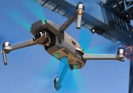
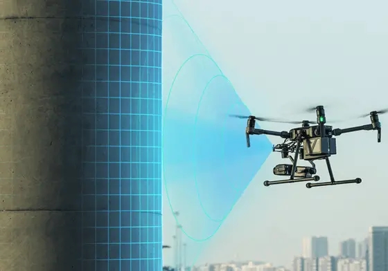
Enliten Drones
Enliten Software
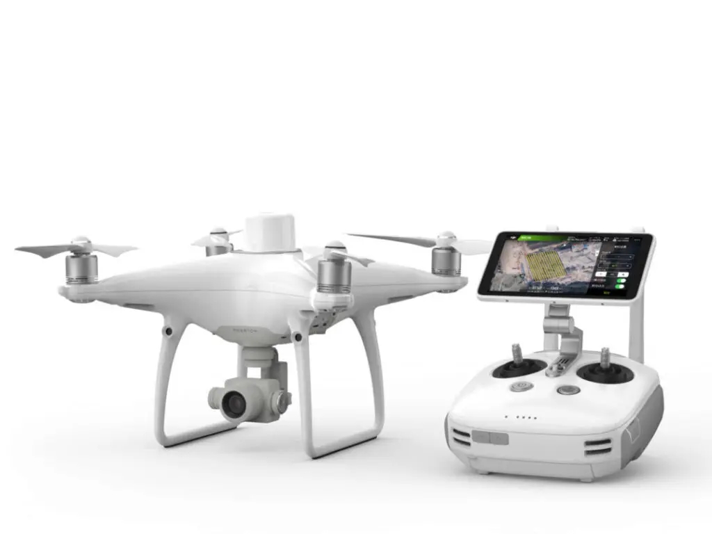
DJI Enterprise Drones
Services
Retail
Enliten

Contact Us